Special weather statement for
City of Toronto and surrounding areas.
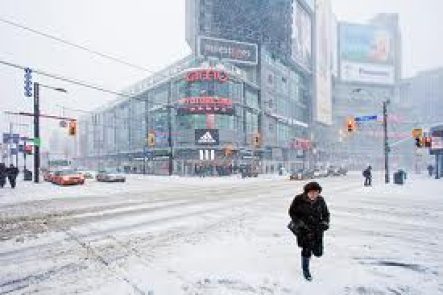
Widespread snowfall event possible this weekend.
A disturbance forecast to emerge from the Southern Plains States is forecast to track northeast towards the Great Lakes Friday. Latest indications suggest this low will follow a path across Central Ohio Saturday to Central New York State by Sunday morning.
As a result, snow ahead of this disturbance is expected to reach Southwestern Ontario Friday night then spread northeast into the remainder of the regions on Saturday.
Current indications suggest a 10 to 15 cm snowfall event for many areas by Saturday night. This could be the first significant snowfall of the season for some locales including Windsor, Kitchener-Waterloo, Hamilton and Toronto which so far have escaped most of the lake effect snowstorms experienced over the past couple of weeks.
There is some potential for locally higher amounts of snow from this system in areas around the west end of Lake Ontario, as cold easterly winds pick up extra moisture from the relatively mild waters of the lake. Areas near the north shore of Lake Erie may also receive higher amounts as they will be closest to the track of the low.
How far north the snow spreads into the regions and the total snowfall amounts received will depend on the exact track and intensity of this disturbance. If the low pressure centre tracks a little further north than currently expected, total snowfall amounts may be somewhat higher by Sunday morning.
Motorists should be prepared for poor winter driving conditions after the snow arrives by Saturday.
The public is advised to monitor future forecasts and warnings as warnings may be required or extended.
Please monitor the latest forecasts and warnings from Environment Canada at www.weatheroffice.gc.ca.


